Crew Reviews, Ratings & Info for Xh-Navigator
IMO: 9330824
Bulk Carrier, Liberia
Photos
Vessel Details
MMSI
636020688
Callsign
5LAF7
Width
45.0 m
Length
289.0 m
Reviews (1)
Mark
2024-06-27
Position: Wiper
Advantages:
Looking for information about this vessel. Curious if anyone's sailed on this vessel? Would you recommend it?
Disadvantages:
No personal experience yet, just gathering info.
Latest News (3)
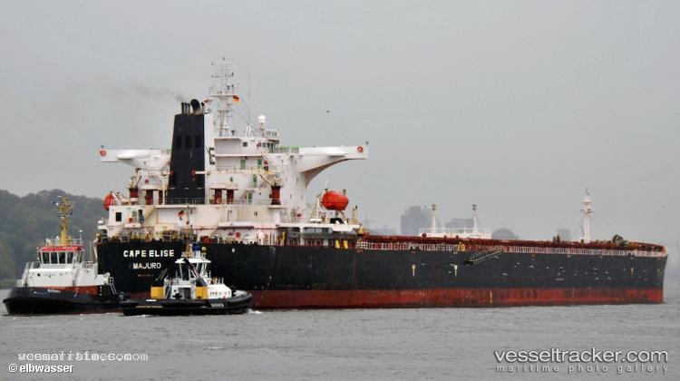
Hull Repairs Completed for Cape Elise in Kalamata
The 'Cape Elise' faced a hull crack incident caused by a grab during discharge operations in cargo hold No 4 at the port of Rouen on November 24, 2019. Following the mishap, temporary repairs that met classification standards were executed, with detailed repair requirements forwarded to the Kalamata port authorities prior to the vessel's arrival. Upon reaching Kalamata, the Port Authority detained the ship to ensure thorough hull repairs were conducted, granting a certificate of seaworthiness post-completion. The vessel successfully departed Kalamata on December 23 after undergoing a scheduled underwater cleaning and minor steel work, certified by the Class Surveyor in the afternoon.
K-Line Secures New Time Charter for Coal Shipment
K-Line has successfully negotiated a new time charter for transporting coal, with operations set between Puerto Drummond and Ashkelon. The volume of the cargo is 165,000 tons, with a freight rate of $7.80 fio. The loading will involve 50,000 tons on a shinc basis, while 30,000 tons will be discharged on a shex basis. The charter is scheduled to take place from August 27 to September 5.
Capesize Bulk Carrier 'Cape Elise' Loses Power in Atlantic Drift
On February 1, 2014, the Capesize bulk carrier 'Cape Elise' encountered a critical engine failure while navigating from Immingham to Hunterston. The incident occurred around midday, resulting in the vessel drifting aimlessly in the vast Atlantic Ocean at coordinates 52°07'N, 014°50'W, as reported by odin.tc. By February 2, the most recent AIS tracking data indicated that 'Cape Elise' was located at 52°34'N, 015°27'W, approximately 186 nautical miles west of Slea Head, Dingle. The situation underscores the perils faced by maritime vessels in these waters.
Frequently Asked Questions
🌊 Did Xh-Navigator sink or have any sinking incidents?
Based on available news reports, Xh-Navigator has been mentioned in connection with sinking-related incidents. There have been 2 news reports mentioning sinking incidents. For detailed information about specific incidents, please refer to the latest news section above.
🛠️ Did Xh-Navigator experience any breakdowns or mechanical failures?
Based on available news reports, Xh-Navigator has been mentioned in connection with breakdown-related incidents. There have been 1 news reports mentioning breakdowns. For detailed information about specific incidents, please refer to the latest news section above.
⚙️ Did Xh-Navigator have any engine problems?
Based on available news reports, Xh-Navigator has been mentioned in connection with engine-related incidents. There have been 2 news reports mentioning engine problems. For detailed information about specific incidents, please refer to the latest news section above.
🚓 Was Xh-Navigator detained or arrested?
Based on available news reports, Xh-Navigator has been mentioned in connection with detention-related incidents. There have been 1 news reports mentioning detentions. For detailed information about specific incidents, please refer to the latest news section above.
Add a Crew Review
Similar Vessels You Might Be Interested In