Read Authentic Ratings for the Barbarosa
IMO: 9415399
Crude Oil Tanker, Libya
Photos
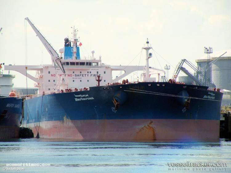
Vessel Details
MMSI
642122017
Callsign
5AXB
Width
50.0 m
Length
274.0 m
Reviews (1)
Anthony
2024-01-16
Position: Chief Engineer
Advantages:
Looking for information about this vessel. Any thoughts on this boat? Any red flags?
Disadvantages:
No personal experience yet, just gathering info.
Latest News (1)
BARBAROSA Targeted by Pirate Attack in Oman Waters
On January 11, 2011, at 10:21 UTC, the vessel BARBAROSA, identified by IMO number 9415399, reported a piracy incident while navigating in the Arabian Sea. The ship was situated approximately 177 nautical miles southeast of Al Lakbi Harbor in Oman when a small skiff launched an attack. The coordinates at the time of the incident were 16° 33' 00" N and 59° 08' 00" E, placing the BARBAROSA in a vulnerable position on a bearing of 303.9 degrees. This event highlights ongoing maritime security concerns in this region.
Frequently Asked Questions
🌊 Did Barbarosa sink or have any sinking incidents?
Based on available news reports, Barbarosa has been mentioned in connection with sinking-related incidents. There have been 1 news reports mentioning sinking incidents. For detailed information about specific incidents, please refer to the latest news section above.
🏴☠️ Was Barbarosa involved in any pirate attacks?
Based on available news reports, Barbarosa has been mentioned in connection with pirate-related incidents. There have been 1 news reports mentioning pirate attacks. For detailed information about specific incidents, please refer to the latest news section above.
Tell Us About This Ship
Similar Vessels You Might Be Interested In